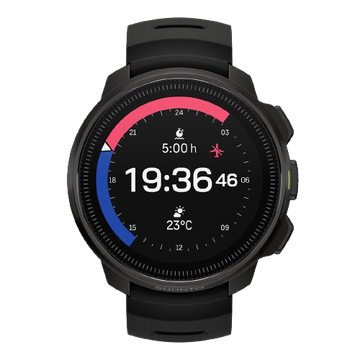
Figuring out where you are is fairly simple when you have a map, the visibility is good and you can identify a few landmarks. But when the going gets rough, the weather is against you and the sun sets, the task isn’t so simple any more. In this tutorial you will learn how your Ambit can help you to find your location.
The basics are simple: you can find your current position with a few clicks of the Ambit.
Choose: Navigation – Location – Current
To make sure you get the satellite fix as quickly as possible, remember to sync your Ambit regularly and keep it up to date.
Once you have found the GPS signal you will get your current location in geographic coordinates. The most common coordinate system in GPS devices is WGS84, which is also used by default in Suunto GPS watches.
Use the same coordinate system on your watch and map
If you need to give your exact location to someone in a rescue situation, WGS84 works. But when you start using a map and defining your location on it, you will need to make sure your GPS watch and the map use the same coordinate system. (To change your Ambit’s coordinate system go to General – Formats – Position format.)
Latitude/longitude is the coordinate system used in marine navigation and is common on topographical outdoor maps. Latitude lines run horizontally. The zero latitude is the Equator. Longitudes run vertically and the zero longitude runs through Greenwich, England. The latitude is normally the first number expressed in lat/long coordinate (for example 60°16'19" N 24°58’23’’ E).
WGS84, which uses latitudes/longitudes, is actually more than a coordinate system: it also includes a model of the globe that enables the use of GPS altimeters.
UTM is a grid coordinate system that is used on many outdoor maps. It divides the map into a perpendicular grid in which each of the squares are the same size anywhere on the map. This means the coordinate system is tied directly to a distance in meters.

This Norwegian map has both WGS84 (black) and UTM (blue) coordinates.
The black numbers on the sides of the map are degrees latitude; the numbers on the top and bottom of the map are degrees longitude. To determine your location on the map, draw a west to east line through the corresponding latitude and a south to north line through the corresponding longitude. The intersection of the two lines indicates your position.
The blue numbers are the northings and eastings of the UTM coordinate system. You can use them like the lat/log when finding your location on the map.
You can get support for your Suunto product at support


