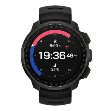
Intelligent battery modes
Suunto 9 Peak Pro is waterproof up to 100 meters. It can measure underwater depth up to 10 meters.
Over 80 sport modes
Suunto 9 Peak Pro has gone through tests against temperature shocks, drops, pressure, sand, ice and salt. It is tested according to the highest military standard of toughness (*MIL-STD-810H).
Sapphire glass and stainless steel
GPS navigation
Weather functions
Blood oxygen
Touch screen
100 m water resistant


