




Suunto Blog

Run Your Own Virtual UTMB with Suunto
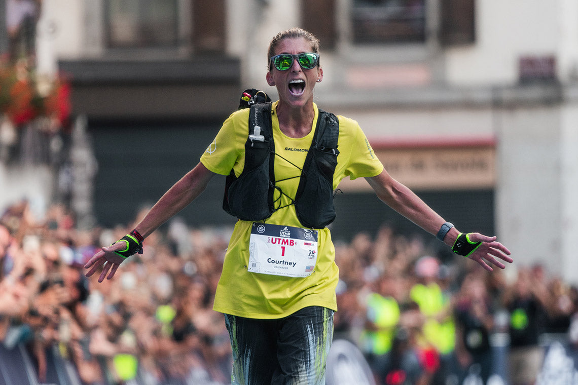
The 171-km race around the Mont Blanc massif is the most prestigious trail ultra in the world. With the new SuuntoPlus sports app, you can test the challenge wherever you are!
The Ultra-Trail du Mont-Blanc (UTMB) is one of the most prestigious and challenging trail running races globally. Its origins are rooted in the desire to create a race that encapsulates the grandeur and difficulty of running through the mountainous terrain surrounding Mont Blanc.
The first race was held in 2003. This year, runners will line up for the start at Place du Triangle de l'Amitié in the heart of Chamonix on August 30.
It can be hard to grasp how long the race actually is. To give you a feeling of the challenge, we have created the Virtual UTMB SuuntoPlus sports app that tracks your cumulative progress towards completing the legendary route.
Whether you are looking for a fun way to motivate yourself or aiming to one day run the race yourself, this sports app is for you!
The Virtual UTMB sports app shows your progress towards running the distance of the 171 km Ultra Trail du Mont Blanc: the top row shows your total distance and progress towards the goal, below you see your current activity distance and duration.
Here’s how it works:
Go to the SuuntoPlus Store in the Suunto app and sync the Virtual UTMB sports app on your watch.
Before starting your next run, go to ‘exercise settings’ and select the Virtual UTMB sports app in the SuuntoPlus section.
Start your activity. The Virtual UTMB sports app will be added as an extra screen. You will be notified as your reach the distance to various aid stations on the course.
The next time you use the same sport mode, the Virtual UTMB sports app will be there by default and keep adding distance towards your cumulative total of 171 km – the distance of the Ultra-Trail du Mont-Blanc.
Suunto is the official technical partner of the UTMB World Series. Learn about the races at utmb.world.


Diving Deeper Into Your Dive Data in the Suunto App
Diving is about more than just exploring the depths, it's a journey of continuous improvement and mastery. Learn how to use Suunto app throughout that process.
Technology has become our trusted companion in the digital age, guiding us through the underwater world and empowering us to explore our limits. With the Suunto app at our fingertips, divers unite to share insights, harness cutting-edge features, and elevate their diving skills to new heights.
Join us as we delve into the depths of data analysis, uncovering the secrets that will make you a better diver with every plunge.
Dive profiles, dive logs and trends
One of the most critical pieces of data for any diver is their dive profile. The Suunto app provides detailed dive profiles, including:
Dive time
Start and stop times
Average and max depth
An algorithm deviation alert if present during the dive
Maximum and average temperature
Gas list of active and enabled gases
Start and end pressure if linked with Suunto Tank POD
Avg gas consumption for each gas if linked with Suunto Tank POD
Current Gradient Factors
CNS and OTU values
Average heart rate if enabled
Surface time
Analysing your dive profiles helps you understand your diving patterns, identify areas for improvement, and adhere to safer diving practices. Paying attention to events such as alarms, nearing no decompression limits, safety stops, ascent speed penalties, and extra time allows you to refine your practice and enhance your overall experience.
The app's comprehensive dive logs enable you to track your progress over time, identify trends, and set goals for future dives, whether aiming to increase dive time, extend gas usage, improve buoyancy control, or explore new sites confidently.
Gas consumption
Connecting with the Suunto Tank POD before a dive makes it easy to monitor your gas consumption during the dive. The Suunto app logs your gas usage over time, providing insights into your efficiency. Analyzing your consumption rate can help identify areas for optimising breathing techniques, such as improving buoyancy or learning better breathing strategies like pre-dive visualisation to help you relax more. This can aid in more effective planning for future dives. Factors such as depth, dive duration, current strength, equipment efficiency, proper weighting, individual physiology, water temperature, and appropriate dressing significantly influence your breathing rate. Understanding how these factors impact your dives helps form better habits and enables improved dive planning in the future.
Environmental conditions
Dive planning and safety get a whole lot more exciting when you truly understand the environmental conditions. The Suunto app lets you dive into a treasure trove of data, recording everything from real-time water temperatures at various depths while visibility, current strength, and weather conditions can be recorded in the notes. Imagine being able to anticipate the perfect dive site or tweak your plans based on a detailed history of your past dives. With this info at your fingertips, you're not just diving, you're mastering the underwater world, ready to adapt and conquer whatever the ocean throws your way!
Daily well-being
Track your steps, sleep, and calories with the Suunto app to keep a perfect balance between training and rest, ensuring you're always at your best. Use the feeling monitor at the end of each dive to see how your daily well-being compares to your dive experience. The Suunto app keeps all your activities—sports, adventures, and dives—in one place, with a home screen view that makes tracking your key activities a breeze.
Training load is a standout feature in the Suunto app, quantifying your training stress using Training Peaks’ Training Stress Score (TSS). Suunto app uses TSS to quantify training load. TSS is calculated based on duration and intensity. The intensity can be based on heart rate, pace or power.
To get a better understanding of the TSS values, it is good to know that a one-hour time trial effort equals 100 TSS. At the same time, a three-hour easy bike ride can accumulate the same amount of training stress. The value always depends on the intensity and duration of the effort.
Get your anaerobic threshold settings right for accurate TSS calculations, with adjustable intensity zones on Suunto devices. Track your long-term training load through the app's Diary ‘Progress’ view, monitoring Cumulative Training Load (CTL), Acute Training Load (ATL), and Training Stress Balance (TSB) to stay fit and avoid over-training.
Check out your daily activity levels or dive into your sleep patterns with the sleep tracking feature. Boosting your sleep quality today can make you a better diver tomorrow. Only time (and tracking) will tell!
Be the first to know
Get notified about the latest news, software updates, and improvements for your dive computer. With the Suunto app, divers have a powerful tool to enhance their skills, monitor their progress, and make informed decisions underwater and beyond.
From analyzing dive profiles and tracking gas consumption to understanding environmental conditions and maintaining daily well-being, every aspect of your diving journey is covered. The app not only empowers you to dive safer and smarter but also encourages continuous improvement with its comprehensive data insights and user-friendly interface.
So whether you're a seasoned diver looking to refine your technique or a beginner eager to explore new depths, the Suunto app is your ultimate companion.
Dive deeper, explore further, and enjoy the underwater world with confidence, knowing that Suunto is with you every step of the way.
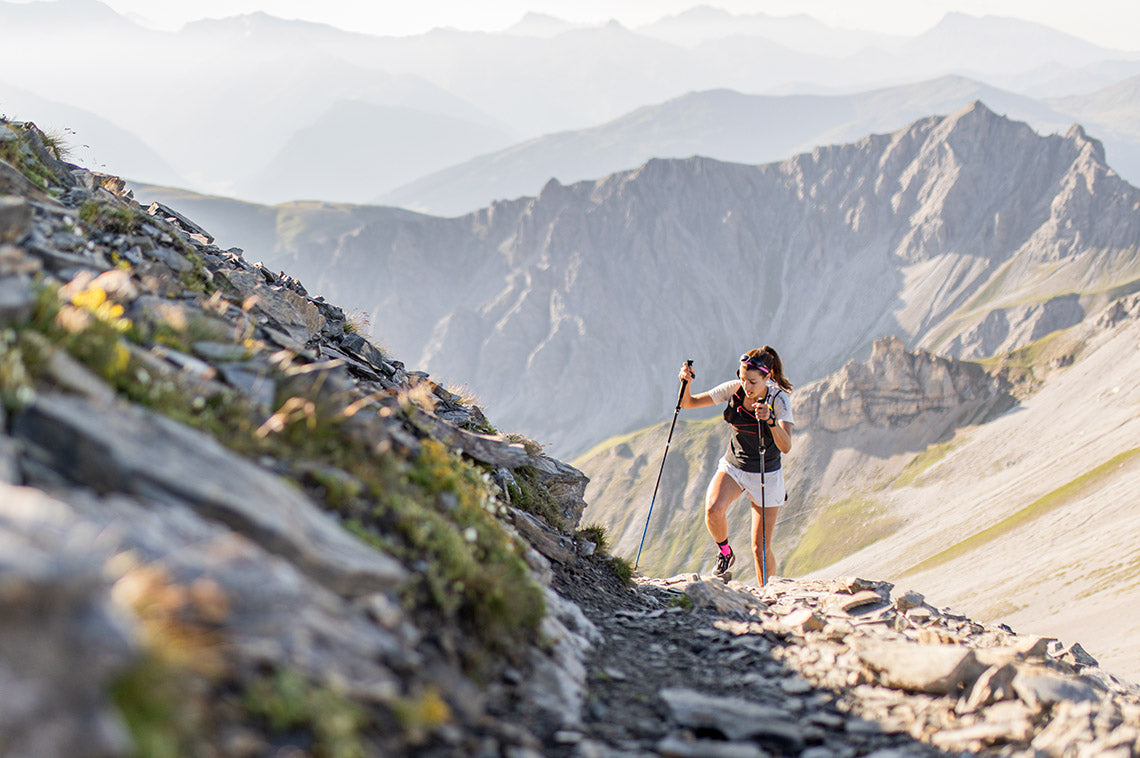

Suunto's Climb Guidance prepares you for the terrain ahead
The route altitude profile in the Suunto app and as part of route navigation in Suunto watches has taken a major step forward. With the release of Suunto Race S, we brought the new Climb Guidance also to Suunto Race, Suunto Vertical, Suunto Ocean and Suunto 9 Peak Pro GPS watches (software version 2.35.34 or later).
It will help you both in the route planning phase and out on the trails. Use it to optimize your pacing, make your race-winning moves, or simply enhance your outdoor experience.
Learn the climbs while planning
The elevation profile grows in real-time as you plan your route. Color codes on the elevation profile match the colors on the map.
When planning a route in the Suunto app, the route is split into sections – climbs, uphills, downhills, descents, and flats. These sections are visualized with color coding both on the map and in the altitude profile below. A climb is marked in red, uphill in orange, downhill in lime, and descent in green. Flats are marked in blue.
The section categories consider the length and steepness of the ascent (or descent). In the categorization, climbs are harder than uphills and descents are bigger than downhills.
The elevation profile of your route keeps growing in real-time as you plan your route. Already in the planning phase, you can scrub the altitude profile and see where each point is on the map. This is a useful way to get to know the route you are planning to navigate.
Get alerts and zoom in on the details during activity
Overview of the elevation profile (left) and a zoomed in climb section (right).
The Climb Guidance sections are synced to your watch along with the route you planned. When you start navigating the route, by default you will see the route on one screen and an overview of the elevation profile on the next.
You can zoom in on the elevation profile using the digital crown on the Suunto Race and Race S watches. On the Suunto Vertical and Suunto 9 Peak Pro, press the upper button to zoom in and long press it to zoom out. (Tip: Similarly, you can zoom in and out on the map view. The zoom-out level was updated to 20km in this latest software update.)
When you zoom in from the elevation profile overview, you will see the current section in more detail. You will, for example, see the ascent covered and ascent remaining on that section along with your position on the elevation profile.
A notification 100 meters before the start of a new section (left) and a full-screen notification with details as the section starts (right).
When you are approaching a climb, a notification is given to you 100 meters in advance. As the section starts, you will get a full-screen notification with section details (vertical, distance, gradient). You will get a similar notification before a descent. Notifications are not triggered for uphill, downhill or flat sections of the route.
Climbs are categorized on a scale of 1–4 and HC (hors categorie) based on their difficulty.
The section notifications can be turned off in the exercise settings. Before starting an activity, go down to exercise settings and select ‘Climb Guidance’. You can then toggle the notifications off and on. You can also select whether you want to see the gradients in percentages or degrees. By default, the gradient is shown in percentages.
The climb notification and grade settings are persistent per activity type; they are automatically remembered the next time you start the same activity.
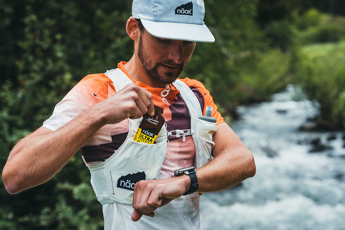

Sync Your Tailored Näak Nutrition Plans to Your Suunto Watch
We have partnered with the nutrition experts at Näak to provide you with real-time nutrition guidance.
Gastric and dietary issues affect 85% of runners and are the leading cause of abandonment, says Näak. The company has made reducing these figures their greatest challenge.
First, they created the Nutrition Calculator: a simple, concrete, and user-friendly online tool that designs personalized nutrition plans for you, based on your profile, goals, and race characteristics.
Now, Näak partners with Suunto to sync your custom nutrition & hydration plan to your Suunto watch for real-time guidance. A plan is a plan, but you also need to execute it well. That's when the SuuntoPlus Näak Nutrition Guide comes into play!
How to Use
1. Go to the Näak website and plan your nutrition needs for your race. Select the race you are interested in. Fill in the required info, like your personal profile and a target time.
2. Click ‘Add to Suunto’ on the result page to connect your Näak and Suunto accounts. The plan is then pushed to your Suunto account.
3. Before starting an activity, go to ‘Exercise settings’ -> ‘SuuntoPlus’ and scroll down to select ‘Näak Nutrition Guide’ for your race.
4. During the activity, you will see the nutrition guidance on its own screen on your Suunto watch.
All images by Simon Morice. Athlete Arthur Joyeux Bouillon.


Trubridge wins Suunto Vertical Blue
They came from all over the world – 35 divers from 19 countries and for over a week they dived in the incredible location of Deans Blue Hole, to attempt records, to push their limits, to redefine the possible. Below we feature the full story from this year's 2014 Suunto Vertical Blue.
At 100m depth the pressure is so strong your lung volume has reduced from the size of a watermelon to a can of cola. Everything is pitch dark. At the end of a line that hangs from the surface you have a simple job: to collect a tag from the bottom plate as proof of your depth and swim back to the top. But even simple tasks are rendered complicated – your body is desperate for oxygen, hallucinations are not uncommon. You have to rely on your training, on visualisation techniques to focus on staying calm and swimming back to the surface, one stroke at at time.
Tomoka Fukuda celebrates after a dive. ©Daan Verhoeven
For multiple record holder William Trubridge, everything was seemingly going to plan for his epic attempt to break his own record to 102m in the entirely unassisted freediving discipline of CNF (constant weight no fin) at the Suunto Vertical Blue freediving contest. This is where divers descend and ascend under their own power, with no fins and just one lungful of oxygen.“I prepared a lot for this dive and I feel like everything went well,” he said afterwards. “I spent a lot of time meditating and visualising the dive beforehand. I took my last breath and began the dive. In the freefall [descent] I was feeling good but I just wasn't quite capable.“Two thirds of the way up I started to feel tired and that it was going to be too tight. I signaled to my safety divers that I wasn't going to make it. They grabbed me and escorted me the last 10m to the surface.“Though I'm disappointed not to have achieved the goal, there is some content in the fact that I gave it my utmost best shot.”
Will Trubridge makes his way to the surface. ©Daan VerhoevenFor the 34-year-old athlete, the failure to make the world record was off-set by the fact he was overall winner of the 7-day contest, in which divers accrue points over six dives. In second place was Russia's Alexey Molchanov and in third was Samo Jeranko from Slovenia. Overall female winner was Marianna Krupnitskaya from Russia. She said: “I knew I could do it. I'm pretty happy with my performances and I feel strong that I can go further next year.”To achieve overall first, Trubridge made a flawless CWT (constant weight) dive to 117m. “It turned out to be one of the fastest ever CWT dives I've ever done to that depth which is suprising to me because I haven't done CWT in a long time, as I've been focusing on the no fins discipline.”“I was really happy to have a nice comfortable dive and to win the competition with it,” he added.Now in its eighth year, Vertical Blue has been the venue for the breaking of dozens of world records. Competitors had six official dives to challenge themselves and their rivals to obtain the coveted Suunto Vertical Blue Championship title, which is awarded to the freediver who has accrued the most points. Prizes included the Suunto D6i and D4i, which both feature a freediving mode for easy recording of dives.
Alexey Molchanov. ©Daan Verhoeven Suunto Vertical Blue 2014 also saw the introduction of the “Apnea Games” – a day of fun and alternative underwater events such as underwater somersaults, blowing oxygen rings and diving in tandem in memory of Nick Mevoli, who tragically lost his life in 2013. The contest takes place at Dean's Blue Hole, Bahamas, the deepest known blue hole in the world.“Over the years we've grown to attract more of the world's top freedivers,” adds Trubridge. “They're going deeper, more national records are getting broken. The average depth in this competition was in the mid 70s. It just shows you how deep we're going! I plan to keep on holding it every year. It's really a great event.”“These are all friends, we're a big family,” says Austrian freediver Jakob Galbavy. “Everyone has a great attitude. Everyone is cheering with everyone. It's really great.”For now Trubridge is content to relax but he has vowed to come back with another record attempt. “I'm definitely going to attempt the CNF record again. This was just a plot twist.”
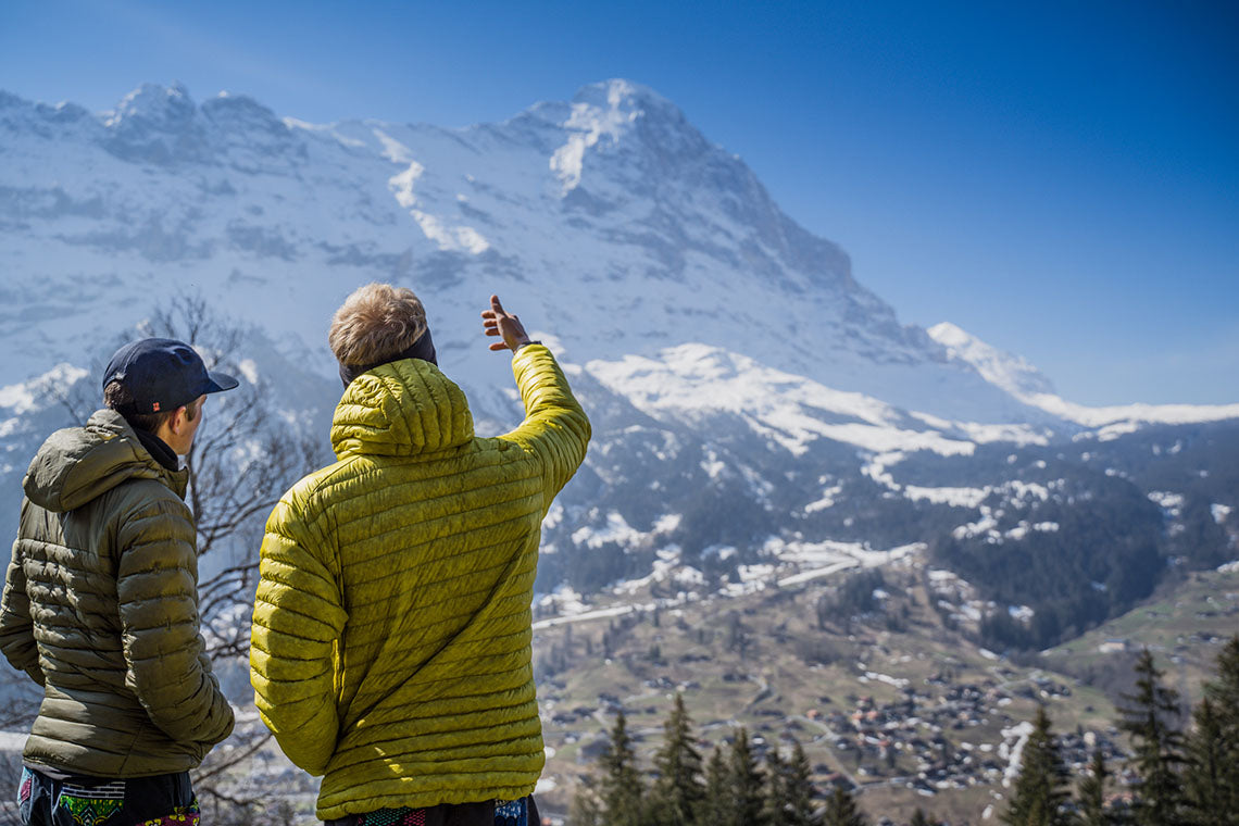

From Bikes to Peaks: The Historic Quest of Bike2Eiger
Join Suunto ambassador Philipp Reiter and his friend Martin Schidlowski as they retrace a historic journey to the Eiger North Face in their film, Bike2Eiger.
Suunto ambassador Philipp Reiter invited his childhood friend and climber Martin Schidlowski on an adventure that combined history with the modern-day challenges of mountaineering. Riding 600 km from their home in Berchtesgadener Land, Germany, to Grindelwald, the base of the Eiger in Switzerland, and attempting to climb its notorious north face was merely the backdrop for something more meaningful and thought-provoking.
We caught up with Philipp to discuss his film, Bike2Eiger. The film has been touring mountain film festivals for the past winter and is now released online. Read on – and watch the film below!
Philipp Reiter and Martin Schidlowski are friends since childhood.
You were following in the footsteps of some true Alpinist legends. Who were they and what was their story?
Anderl Hinterstoisser and Toni Kurz were two alpinists from the Berchtesgadener Land, where Martin and I also grew up. In the 1930s, they wanted to solve the last unclimbed problem of the Alps - the Eiger North Face. As they had no money to travel by train, they went from Bad Reichenhall to Grindelwald by bike. (Read more about them here.)
What is your connection with your adventure buddy Martin?
Martin Schidlowski is my kindergarten buddy. We have done many alpine adventures together, running, climbing, and mountaineering. Since the beginning, we have had the same mindset and passion for the mountains. He is a super good climber and alpinist, and I am more of the endurance athlete in our team.
Not the conditions the duo was hoping for.
The adventure started with three long days in the saddle. How did that go?
Haha, not very well! 1.5 hours after we started, we were stuck and had to push the bikes through 30–40 cm of fresh snow. Generally, it was super cold, and we underestimated the weight of the bags. We carried in all our gear – alpinism by fair means. The first night, the police also kicked us out of our little wood cabin as in Austria sleeping somewhere out counts as illegal camping.
Did you start to question why you didn’t simply drive to the mountain?
We wanted to experience the same as the two pioneers in the 1930s, which is why we also took the bikes.
Studying the route and the weather are part of any adventure.
Do you think Martin will ever again go on a bikepacking trip?
No, never! He had never ridden more than 100 km before, and on day one we had to do around 220 km! He did not like it.
And what about you…?
Well, generally, I like cycling a lot as to me it’s the perfect way to explore new areas at a decent speed. But on this ride, my leg warmers were too tight, and I got an inflammation around the knee, which was super painful.
First attempt on the Eiger: too much snow.
The weather conditions and the amount of snow made the first Eiger attempt hard. Is there anything you could have done differently?
At one point, there were just too many people with busy schedules involved in the project, and we couldn’t keep shifting the dates all the time. So, we had only a few time slots planned, and basically, only this one was left. That’s why we started in okay conditions, knowing that it might become too tricky to climb the face. And then there was too much snow.
Mountaineering has a lot to do with conditions. Usually, you need to be patient and wait for the right conditions. It’s never a good idea to rush it in the mountains.
Before the second attempt, the atmosphere was different. Can you explain a bit about what was happening?
When we came back one year later for the second try, we knew that the conditions were very good and that it was just a matter of us making it happen. Also, we didn’t do the bike approach again, which made it easier. When we went up to Eigergletscher to sleep, there was so much positive energy. I remember this situation well.
Second try, better conditions – but different route.
Could part of the mood be that you were so sure that with the right timing and team, you could just show up and finish the project?
Yes, exactly. It was almost like: We just need to climb it now, and that’s it!
Is it possible that the slower approach and early difficulties set you up differently?
Martin and I had done some more training together, like the Matterhorn North Face. We felt more ready than the first time and were more relaxed as we did not have heavy legs from three long days of riding.
Summit of the Eiger!
Did the adventure teach you something?
Most of the time, things come out very differently than we have planned, and we always need to keep the capacity to adapt.
Watch now: Bike to Eiger
Watch now: Philipp Reiter and Martin Schidlowski follow the footsteps of their local mountaineering heroes from the 1930s on a multisport adventure to the "Eigernordwand“.


